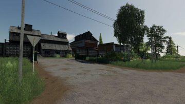
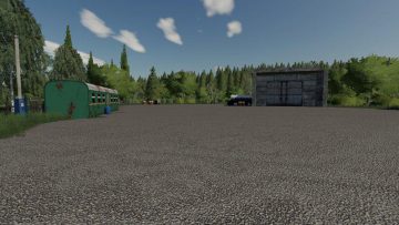
Map “Varvarovka” takes you to the Soviet period 60-70 years.
Changes v1.0.1:
– Fixed barn (cows passed through the wall);
– Fixed flickering objects on the roads;
– Fixed bugs;
– Fixed the trigger on the crushing plant;
– Added light on the Windows at night;
– And much more.
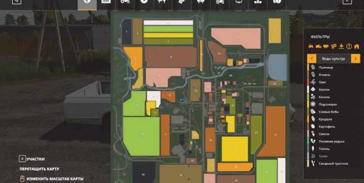
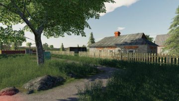
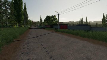
At the entrance to the village is visible the inscription “GLORY of the CPSU” in large red letters. Bo many places the road is very beaten, which only adds realism. Although despite the 60s, the village still has asphalt, electricity and railway are also present. Location is not very big, everything is close: fields, buildings, transport.
Map features:
– Dense vegetation and a variety of plantings around the perimeter.
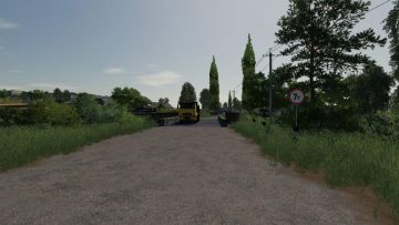
– Many intersections. In General, the road is suitable for driving on any transport, though covered with cracks and potholes.
– Near each rural house-a kitchen garden.
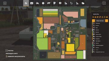
– 41 fields of different sizes.
– Russian traffic.

